Skip to content Skip to navigation

Geographical Information System (GIS)

x

Error message

  • Deprecated function: The each() function is deprecated. This message will be suppressed on further calls in menu_set_active_trail() (line 2396 of /home2/blackfie/public_html/includes/menu.inc).
  • Deprecated function: implode(): Passing glue string after array is deprecated. Swap the parameters in Drupal\gmap\GmapDefaults->__construct() (line 107 of /home2/blackfie/public_html/sites/all/modules/gmap/lib/Drupal/gmap/GmapDefaults.php).
  • Deprecated function: implode(): Passing glue string after array is deprecated. Swap the parameters in drupal_get_feeds() (line 394 of /home2/blackfie/public_html/includes/common.inc).
  • Notice: Trying to access array offset on value of type int in element_children() (line 6527 of /home2/blackfie/public_html/includes/common.inc).
  • Notice: Trying to access array offset on value of type int in element_children() (line 6527 of /home2/blackfie/public_html/includes/common.inc).
  • Notice: Trying to access array offset on value of type int in element_children() (line 6527 of /home2/blackfie/public_html/includes/common.inc).
  • Notice: Trying to access array offset on value of type int in element_children() (line 6527 of /home2/blackfie/public_html/includes/common.inc).
  • Notice: Trying to access array offset on value of type int in element_children() (line 6527 of /home2/blackfie/public_html/includes/common.inc).
  • Notice: Trying to access array offset on value of type int in element_children() (line 6527 of /home2/blackfie/public_html/includes/common.inc).

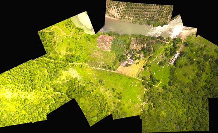
Drone technology allows GIS professionals to work more efficiently. With an easy-to-deploy mapping drone you can capture accurate aerial imagery and transform it into 2D orthomosaics (maps) and 3D models of small- and medium-sized sites – all on demand and without needing any piloting skills.

As a new method of raster data collection, drone or UAV/UAS technology effectively complements existing techniques, fitting between large-area satellite/manned aircraft imagery and smaller coverage, time-consuming, but highly accurate terrestrial approaches:

From a delivery time standpoint, a drone allows you to take to the skies virtually whenever you like – collecting the geo-referenced images you require without the hassle of booking and waiting for manned aircraft or satellite imagery. Just plan, fly, download your images, and process your raster data the same day.

Whatever field you work in – forestry, asset management, environmental protection, agriculture, humanitarian, remote sensing, oil and gas or another – our drones can provide very real benefits, providing accurate data, quickly and cost-effectively.