Skip to content Skip to navigation

Surveying and Mapping

x

Error message

  • Deprecated function: The each() function is deprecated. This message will be suppressed on further calls in menu_set_active_trail() (line 2396 of /home2/blackfie/public_html/includes/menu.inc).
  • Deprecated function: implode(): Passing glue string after array is deprecated. Swap the parameters in Drupal\gmap\GmapDefaults->__construct() (line 107 of /home2/blackfie/public_html/sites/all/modules/gmap/lib/Drupal/gmap/GmapDefaults.php).
  • Deprecated function: implode(): Passing glue string after array is deprecated. Swap the parameters in drupal_get_feeds() (line 394 of /home2/blackfie/public_html/includes/common.inc).
  • Notice: Trying to access array offset on value of type int in element_children() (line 6527 of /home2/blackfie/public_html/includes/common.inc).
  • Notice: Trying to access array offset on value of type int in element_children() (line 6527 of /home2/blackfie/public_html/includes/common.inc).
  • Notice: Trying to access array offset on value of type int in element_children() (line 6527 of /home2/blackfie/public_html/includes/common.inc).
  • Notice: Trying to access array offset on value of type int in element_children() (line 6527 of /home2/blackfie/public_html/includes/common.inc).
  • Notice: Trying to access array offset on value of type int in element_children() (line 6527 of /home2/blackfie/public_html/includes/common.inc).
  • Notice: Trying to access array offset on value of type int in element_children() (line 6527 of /home2/blackfie/public_html/includes/common.inc).

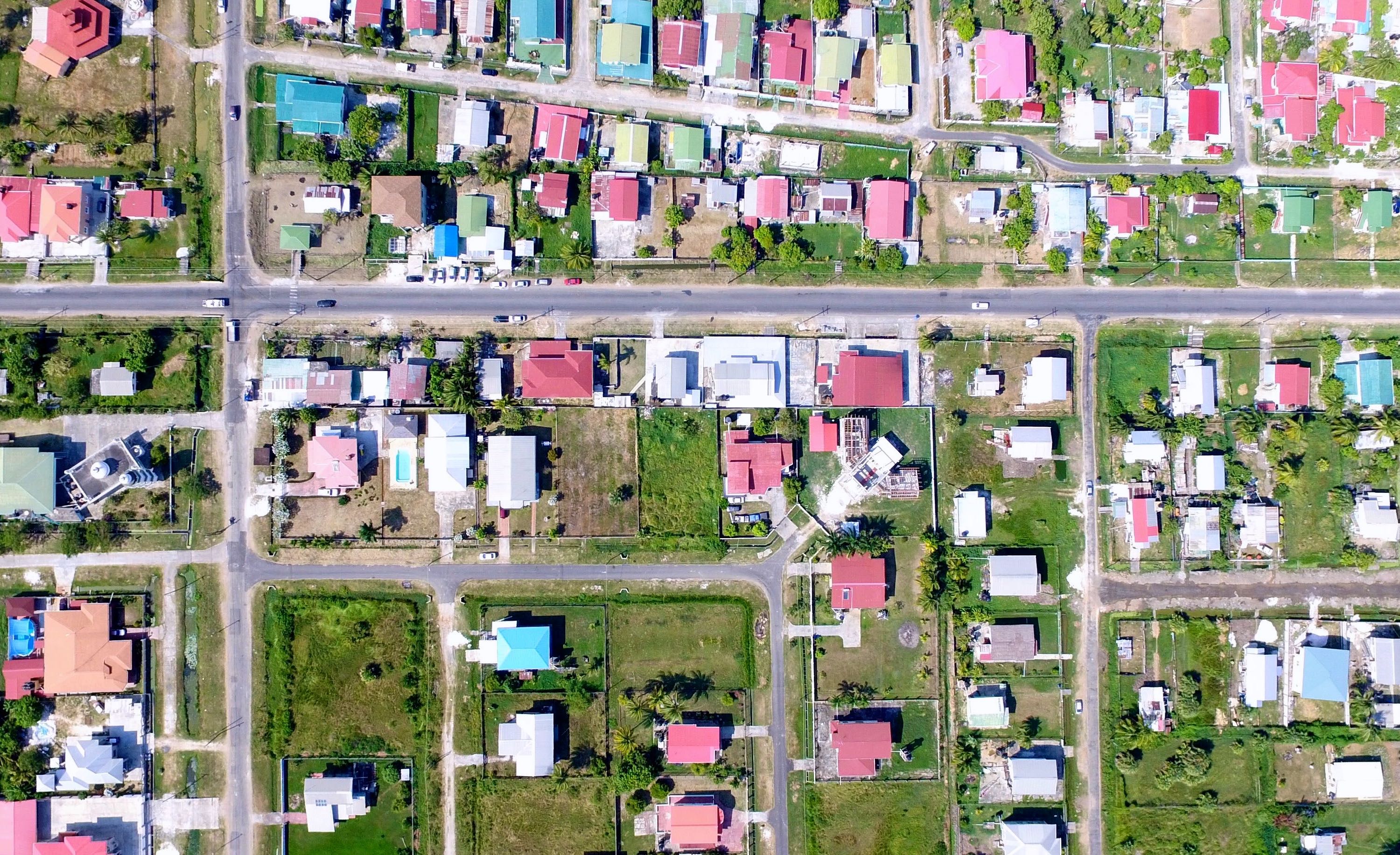
Blackfields’ Unmanned Aerial Systems (UAS), provide an integrated end-to-end surveying and GIS (Geographical Information System) solution. The immediate and reliable collection of high quality aerial imagery and a variety of image processing options give everyday users and GIS specialists the ability gather aerial imagery faster, more accurately and more cost-effectively than satellites, manned aircraft or ground-based measurements. The data and imagery collected enables users to create high-resolution 2D orthomosaics and maps, 3D and digital surface models (DSM), and other GIS datasets.

As a Vertical Take-Off and Landing (VTOL) aerial vehicle, Blackfields’ UAS can operate lower and slower than manned aircraft, and fly in confined environments where fixed- wing UAVs cannot operate safely. The result of this capability is incredibly detailed imagery, up to 1cm/px resolution, required for precise modelling and measurement.